Yesterday was yet another beautiful sunny fall day but the weather is forecast to change so we took the opportunity to get out and have another good walk before it did.
Having walked the previous day in the damp forested river canyons we decided an alpine walk would make a nice change. I have only walked to Dog Mountain previously on Mt Seymour so I wanted to try some of the other trails in the park before the first snow.
Mt Seymour Parkway was unusually quiet as we headed towards the Eastern end of the North Shore.

We take a left onto Mt Seymour Road and pass the park entry sign.

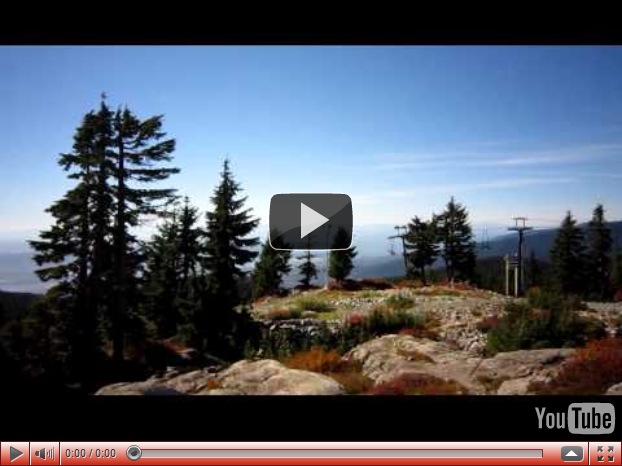
We then proceed along the 9km road as it winds its way up the mountainside. The start of the walk is the same location as the beginning of the Dog Mountain walk, but instead of immediately turning left into the trees we continue up alongside the ski run. The trail broadly follows the route of the Mystery Chairlift, starting and finishing at the same location.

It was a brilliantly blue-sky sunny day.

The trail weaves under chairlift, not currently in operation of course waiting for the winter season.


The low growing alpine foliage is turning burnt oranges and reds.


These large trees appear to be growing on a huge piece of rock.

After a steady climb we reach Mystery Lake. It is a lovely clean mountain lake and Mojo and I have it all to ourselves.


The gentle gravel access to the lake means Mojo is straight in and enjoys several good swims.


A video of Mystery Lake.

After a rest for me and a good swim for him we continue up towards the peak. We get this view of Mt Baker on our way.

We discovered a typing error in the hiking book we were following. It stated you need to take the trail on the West side of the lake which leads to Mystery Peak. However, the trail is actually on the East side of the lake. On the west side was the ski run which we duly followed think it was the correct route, it was however a short but hard slog up rock strewn mountainside.
However, turning around when we stopped for a moment we discovered a panoramic view of the city had opened up below us.

Focused in on Downtown

The docks in North Vancouver, Stanley Park beyond and Lions Gate Bridge to the right while UBC, Pacific Spirit Park and Spanish Banks beach on the furthest peninsula.

The Second Narrows Bridge.

Zoomed in on the parking lot where we had started out.

As we reach Mystery Peak this is the view to the West including Grouse Mtn on the left hand side.

Interesting sheer rock face

We reach the terminus of the chairlift. The dog to the right watched us come up the hill and his owner was sat just out of sight having lunch. Chatting to his owner we clarified our confusion over the trail route. Having not seen anybody else as we had followed the trail up here Mojo was delighted to find a playmate and bounced around with this dog for a few minutes.

The machinery of the chairlift. Only a few more weeks and it will be back in action.

From Mystery Peak the view North is of Brockton Point (to the right) and Mt Seymour peak to the left.

There is another chairlift which starts a short distance away from the top of Mystery Peak and goes right to the top of Brockton Point. The top of the Brockton Point chairlift seen here.

We decide this is the perfect spot to stop and have lunch, there is a strange raised wooden structure perhaps a meeting point or a fire lookout ? Anyway, here we had lunch.

And enjoyed these fantastic views while we ate.


A panorama video from our lunch spot at the top of Mystery Peak.
After our lunch we start to make our way back down. However, rather than returning the way we had come up we made a circular route by walking around the back of the peak and joining the Mt Seymour Trail down the mountainside.
More lovely autumnal colours.

Where are the bridge surveyors here ? ! Given it is the end of the season and will likely get crushed by snow over the winter anyway they probably won’t do anything with this until late Spring or early Summer next year.

It is a testament as to quite how much snow they get up here in the winter. The trail we are on is also a snowshoe route during the winter so trail markers need to be visible all year around – see how high they put markers on this tree – the lowest for summer hiking and then the two others remain visible depending on how much snow there is.


And a short detour so we can reach First Lake (which we have passed before on our way to and from Dog Mountain). Tremendous reflections in the clear still water…………

…….that is until the big furry beast jumps in.

After some more good swimming we head back along the Dog Mountain trail back to the car.
It had been an absolutely perfect walk in beautiful weather and the views were astounding, much better than the hiking book had led us to believe there would be. I definitely want to do some more walks up here in the future.
No comments:
Post a Comment