Squamish is one of those towns you know of quite well, pass it on occasion heading to the more prestigious destinations of Whistler or the BC Interior but rarely stop for any more than a coffee or gas enroute. I had read that there was an easy pleasant walk along the Squamish Estuary and this beautiful sunny Spring day seemed like a great day to try it out.
The drive to Squamish is always stunning along the Sea-to-Sky Highway. Views here from near Lions Bay across Howe Sound towards Bowen Island, the Sunshine Coast ferry returning to Horseshoe Bay.

As we head towards the end of April it is neither peak Winter season nor has the Summer one kicked in so the drive along the newly improved Sea-to-Sky Highway is easy, mostly 4-lanes.

Once in Squamish we must pass through ‘Downtown’ to get to the nature reserve in the estuary. I use the term ‘Downtown’ loosely although this is the official name for the area – it has a fairly sleepy main street with a good selection of independent stores while closer to the Highway the big box stores have dominated the open-air malls. Squamish isn’t a particularly pretty town, although like many small BC towns it is helped significantly by being in a beautiful location !

The improved road access to Vancouver has increased pressure on Squamish to continue building more housing. There are new developments springing up on each side of town.

However it’s not long before we can abandon the car and get out walking. Immediately West of the downtown core is the Squamish Estuary, 673 hectares designated as a protected wildlife management area due to the number of fish and bird habitats the location supports.
The view South along the estuary.

Views South East towards the Garibaldi Mountain range and Provincial Park.


The estuary consists of a mixture of open fields and marsh, ponds, creeks and light wooded copse such as the trails passes through here;

We cross a BC Rail branch line which leads down to the docks at the head of Howe Sound.

There is a lot of wildlife and particularly birds in this estuary. Most were too quick or small and distant to photograph. However, these two canada geese kindly stood patiently while being photographed.

Views to the North West towards the Tantalus Range and Provincial Park.

This hunting season sign has been here a while……still advertising the 2005-2006 hunting season ?

We reach the Squamish River, which is the main body of water passing through the estuary into Howe Sound.


Most of the first section of the walk was along Heritage Dyke, built in the late 1800’s by immigrant Chinese workers hoping to create usable farmland on the valley floor. These old dykes now show their age as many trees have grown and taken over while the ‘trail’ in many places mostly consists of gnarly tree roots.

More great views to the South East towards Garibaldi


A brief panorama of the views in the estuary park. It was a very blustery Spring day so lots of wind noise on the video, sorry !

The planned walk today was supposed to be a figure-of-8 using the trail network in place, unfortunately part of the Heritage Dyke had collapsed here, and while we were able to cross this section just a short distance later more had collapsed and there was too much water to get across. We had to retrace our steps on this section.

One of the big old spruce trees growing along the Heritage Dyke.

We loop back onto the Forest and Swan Walk trails to complete the walk. Views here towards Tantalus.


A short stint on a flat logging road

And we’re soon back on the trails again.

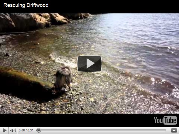
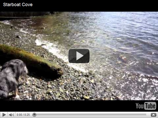
Mojo is pretty pleased with this walk – it’s somewhere new, plentiful supply of sticks and all the puddles, ponds and creeks you could ask for.

Finally as we’re turning back towards the town and our car we get these views North up the estuary.


A lovely walk and a refreshing change from the heavily forested North Shore. There are many fantastic walks in the Squamish area but unfortunately most of them are within the boundaries of Garibaldi Provincial Park which as a major bear migratory route does not allow dogs. I am still hoping to explore a couple of these hikes over the summer, if I can persuade Mojo to spend the day at home ?